Browse By Product


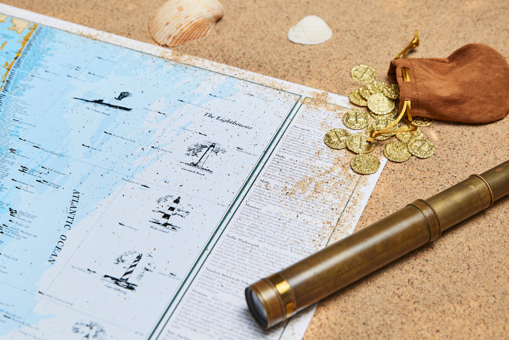
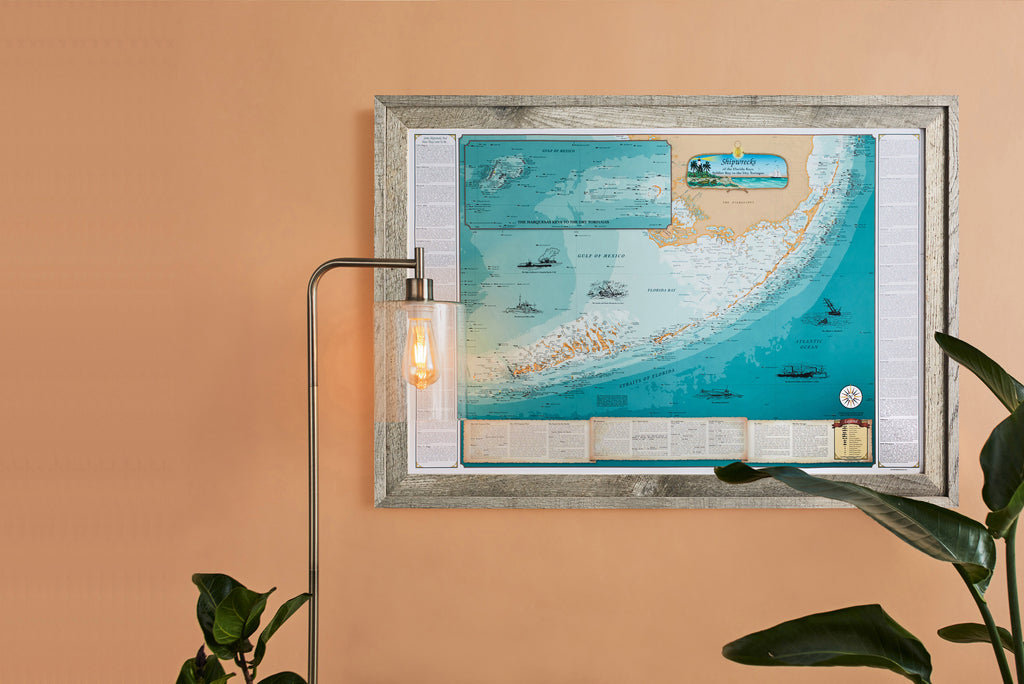
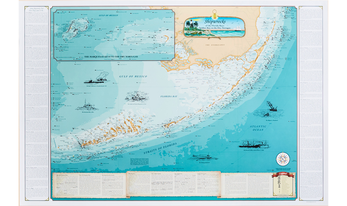
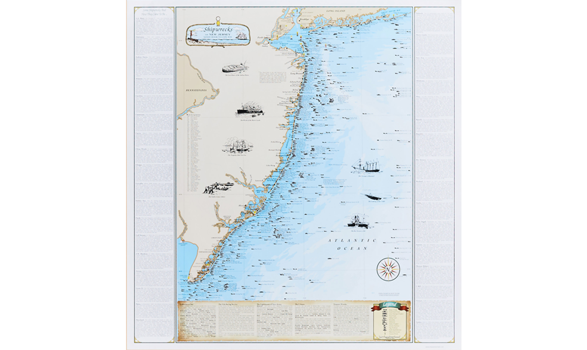
Shipwreck Charts
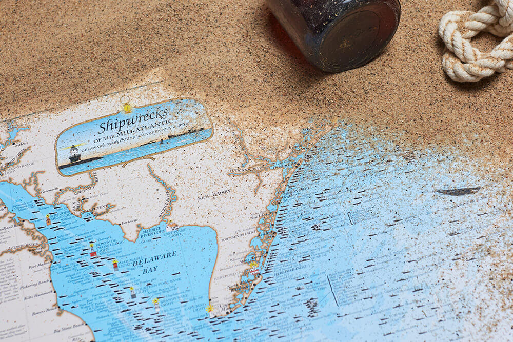
Featured Shipwreck Charts


1,000+ 5-STAR REVIEWS
“Excellent service and the maps were wonderful”
1,000+ 5-STAR REVIEWS
“Love this art. Can't wait to get framed. Thanks!”
1,000+ 5-STAR REVIEWS
“Great fishing charts with lots of good spots”

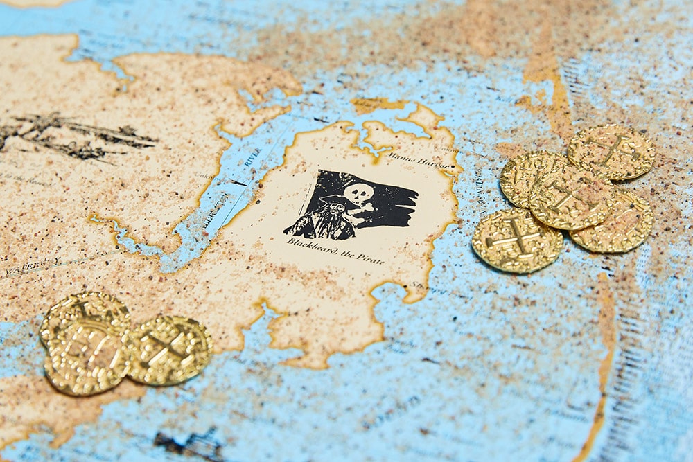
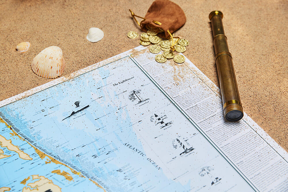
Made by nautical enthusiasts
Sealake Products has been making unique nautical prints and fishing charts for over 40 years. Our products are informative, accurate, and cover some of the most interesting subjects, from Sharks, to Hurricanes, to Shipwrecks.

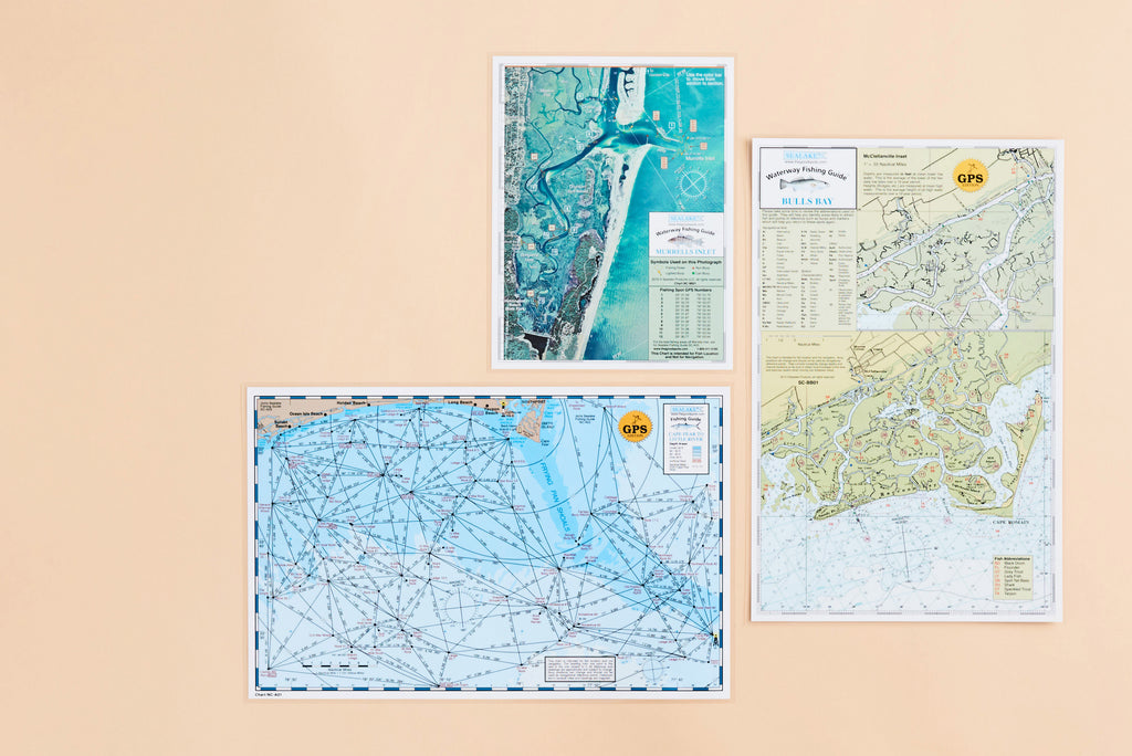
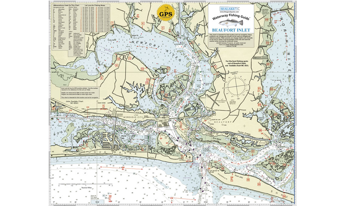
Great Fishing Spots
Many of our charts contain GPS coordinates that point you directly to the best fishing spots.
Featured Fishing Charts


BE IN THE KNOW
Sign up here for our newsletter